File:Denver airport USGA 2002 mod.jpg
Jump to navigation
Jump to search

Size of this preview: 600 × 600 pixels. Other resolutions: 240 × 240 pixels | 480 × 480 pixels | 768 × 768 pixels | 1,024 × 1,024 pixels | 2,048 × 2,048 pixels | 10,800 × 10,800 pixels.
Original file (10,800 × 10,800 pixels, file size: 75.99 MB, MIME type: image/jpeg)
Summary
| Warning | The original file is very high-resolution. It might not load properly or could cause your browser to freeze when opened at full size. |
|---|
| Description |
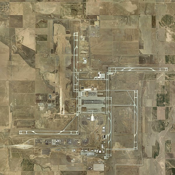
English: Denver International Airport in Denver, Colorado, United States |
| Date | (UTC) |
| Source | Denver_airport_USGA_2002.jpg |
| Author |
|
| Object location | | View this and other nearby images on: OpenStreetMap |
|---|
| This is a retouched picture, which means that it has been digitally altered from its original version. Modifications: Brighten. The original can be viewed here: Denver airport USGA 2002.jpg:
|
Licensing
This image is in the public domain in the United States because it only contains materials that originally came from the United States Geological Survey, an agency of the United States Department of the Interior. For more information, see the official USGS copyright policy.
|
Original upload log
This image is a derivative work of the following images:
- File:Denver_airport_USGA_2002.jpg licensed with PD-USGov-USGS
- 2009-04-30T07:03:41Z MBisanz 10800x10800 (53417183 Bytes) {{Information |Description={{en|1=[[w:Denver International Airport]] {{Location dec|39.861667|-104.673056}}}} |Source=[http://terraserver-usa.com/usgsentry.aspx?T=4&S=13&Z=13&X=329&Y=2757&W=3 USGS] |Author=USGA |Date=4/24/200
Uploaded with derivativeFX
File history
Click on a date/time to view the file as it appeared at that time.
| Date/Time | Thumbnail | Dimensions | User | Comment | |
|---|---|---|---|---|---|
| current | 17:29, 30 April 2009 | | 10,800 × 10,800 (75.99 MB) | wikimediacommons>MBisanz | {{Information |Description={{en|1=w:Denver International Airport}}{{Location dec|39.861667|-104.673056}} |Source=*File:Denver_airport_USGA_2002.jpg |Date=2009-04-30 22:02 (UTC) |Author=*File:Denver_airport_USGA_2002.jpg: USGA *derivative w |
File usage
The following page uses this file: