File:Tierrador Regions Map.png
Jump to navigation
Jump to search
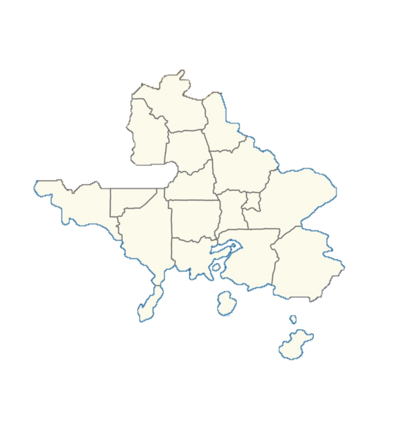
Size of this preview: 568 × 599 pixels. Other resolution: 1,284 × 1,354 pixels.
Original file (1,284 × 1,354 pixels, file size: 367 KB, MIME type: image/png)
Summary
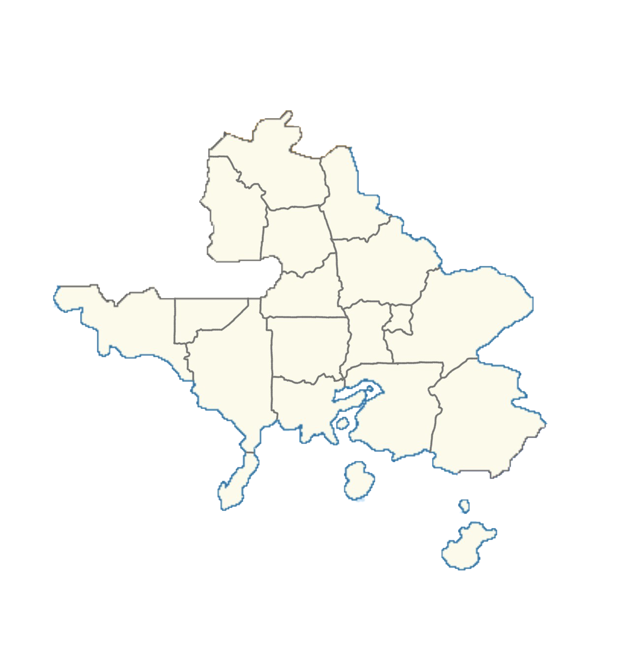
Map of the 19 mainland regions of Tierrador.
File history
Click on a date/time to view the file as it appeared at that time.
| Date/Time | Thumbnail | Dimensions | User | Comment | |
|---|---|---|---|---|---|
| current | 20:34, 30 April 2023 | | 1,284 × 1,354 (367 KB) | Tierrador (talk | contribs) | Map of the 19 mainland regions of Tierrador. |
You cannot overwrite this file.
File usage
The following 2 pages use this file: