Category:Political Geography
Jump to navigation
Jump to search
Articles relating to political geography.
Pages in category "Political Geography"
The following 2 pages are in this category, out of 2 total.
Media in category "Political Geography"
The following 51 files are in this category, out of 51 total.
-
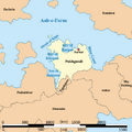
Alcairet EEZ.png 661 × 500; 21 KB
-
Alcairet Map.png File missing
-
Alcairet map.png 500 × 500; 8 KB
-
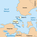
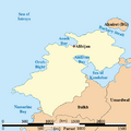
Alcairet Political Map.png 500 × 500; 39 KB
-
Antilles ortho map.png 500 × 500; 7 KB
-
Arunid max extent.png 1,509 × 949; 495 KB
-
Bergendii colonies in central Daria.png 1,564 × 1,004; 291 KB
-
Bergendii colonies in western Daria.png 1,080 × 1,355; 300 KB
-
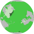
Bulkh Map Globe.png 700 × 701; 74 KB
-
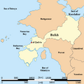
Bulkh Political Map.png 500 × 500; 29 KB
-
Burg First Frat 1854.png 800 × 800; 54 KB
-
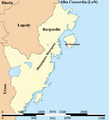
Burg Metropole Country Map.png 800 × 800; 49 KB
-
Burg Ortho Map.png 854 × 854; 77 KB
-
BurgAlsharAudColonies.png 827 × 609; 166 KB
-
BurgMap.png 500 × 550; 31 KB
-
BurgMetropoleProvinces.png 500 × 550; 31 KB
-
Burgoignesc colonial empire max extent.png 2,162 × 1,080; 260 KB
-
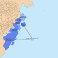
Chaukhira EEZ.png 150 × 190; 3 KB
-
Chaukhira ortho map.png 500 × 500; 6 KB
-
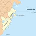
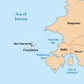
Chaukhira Political Map.png 500 × 500; 23 KB
-
EO Administrative Map.png 500 × 500; 45 KB
-
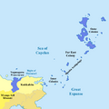
Far East Colony Max Extent map.png 700 × 700; 42 KB
-
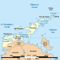
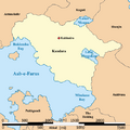
Kandara Administrative Map.png 1,247 × 955; 525 KB
-
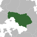
Kandara ortho map.png 700 × 700; 16 KB
-
Kandara Political Map.png 500 × 500; 32 KB
-
Kemeti civ max extent.png 1,080 × 1,244; 274 KB
-
Map of Battganuur.png 500 × 500; 34 KB
-
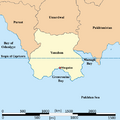
Map of Yanuban.png 500 × 500; 25 KB
-
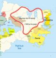
Myanga Ayil Khanate at its peak 1495.png 1,080 × 1,113; 301 KB
-
Nauta Normand Political Map.png 500 × 500; 14 KB
-
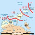
New Burg colonial claims expansion map.jpg 500 × 500; 130 KB
-
Ortho Map of Battganuur.png 700 × 700; 14 KB
-
Oyashima ortho map.png 700 × 700; 12 KB
-
Oyashima political map.png 500 × 500; 19 KB
-
Peshabiwar political map.png 500 × 500; 46 KB
-
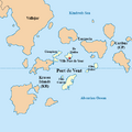
PortdeVentPoliticalMap.png 500 × 500; 26 KB
-
Pukhgundi map.png 500 × 500; 36 KB
-
Pukhgundi ortho map.png 700 × 700; 15 KB
-
Pursat ortho map.png 700 × 700; 13 KB
-
PursatPoliticalMap.png 500 × 500; 22 KB
-
Salarive EEZ.png 150 × 190; 5 KB
-
Sindhus River.png 1,080 × 1,132; 505 KB
-
St.NicholasPoliticalMap.png 500 × 500; 18 KB
-
Sylirian counter-attack.png 852 × 1,448; 232 KB
-
Syliro-Yanuban border clashes.png 1,080 × 1,810; 320 KB
-
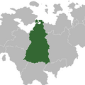
Tapakdore ortho map.png 700 × 700; 15 KB
-
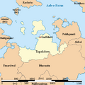
Tapakdorepoliticalmap.png 500 × 500; 38 KB
-
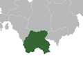
Umardwal ortho map.png 700 × 700; 16 KB
-
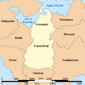
Umardwal Political Map.png 500 × 500; 31 KB
-
Yanuban orth map.png 700 × 700; 11 KB
-
Yanubi invasion of Syliria.png 732 × 1,380; 184 KB

