File:Alcairet Map.png: Difference between revisions
Jump to navigation
Jump to search
m (Burgundie moved page File:Salarive Map.png to File:Alcairet Map.png: consolidation of the provinces) |
m (→Summary) Tag: 2017 source edit |
||
| (One intermediate revision by the same user not shown) | |||
| Line 1: | Line 1: | ||
== Summary == | == Summary == | ||
Political map of [[Alcairet]] | |||
[[Category:Burgundie]] | [[Category:Burgundie]] | ||
[[Category:Maps of Burgundie]] | [[Category:Maps of Burgundie]] | ||
| Line 7: | Line 8: | ||
[[Category:Burgundie media]] | [[Category:Burgundie media]] | ||
[[Category: Sub-national Regions in Burgundie]] | [[Category: Sub-national Regions in Burgundie]] | ||
[[Category:Alcairet]] | |||
Latest revision as of 13:55, 26 February 2024
Summary
Political map of Alcairet
File history
Click on a date/time to view the file as it appeared at that time.
| Date/Time | Thumbnail | Dimensions | User | Comment | |
|---|---|---|---|---|---|
| current | 14:44, 12 February 2024 |  | 500 × 500 (39 KB) | Burgundie (talk | contribs) | |
| 10:50, 12 February 2024 | 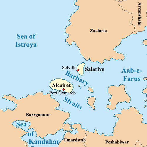 | 500 × 500 (39 KB) | Burgundie (talk | contribs) | Flag of Torlen, Burgundie.Category:BurgundieCategory:FlagsCategory: Flags of BurgundieCategory:IXWBCategory:Burgundie media | |
| 20:30, 11 February 2024 | 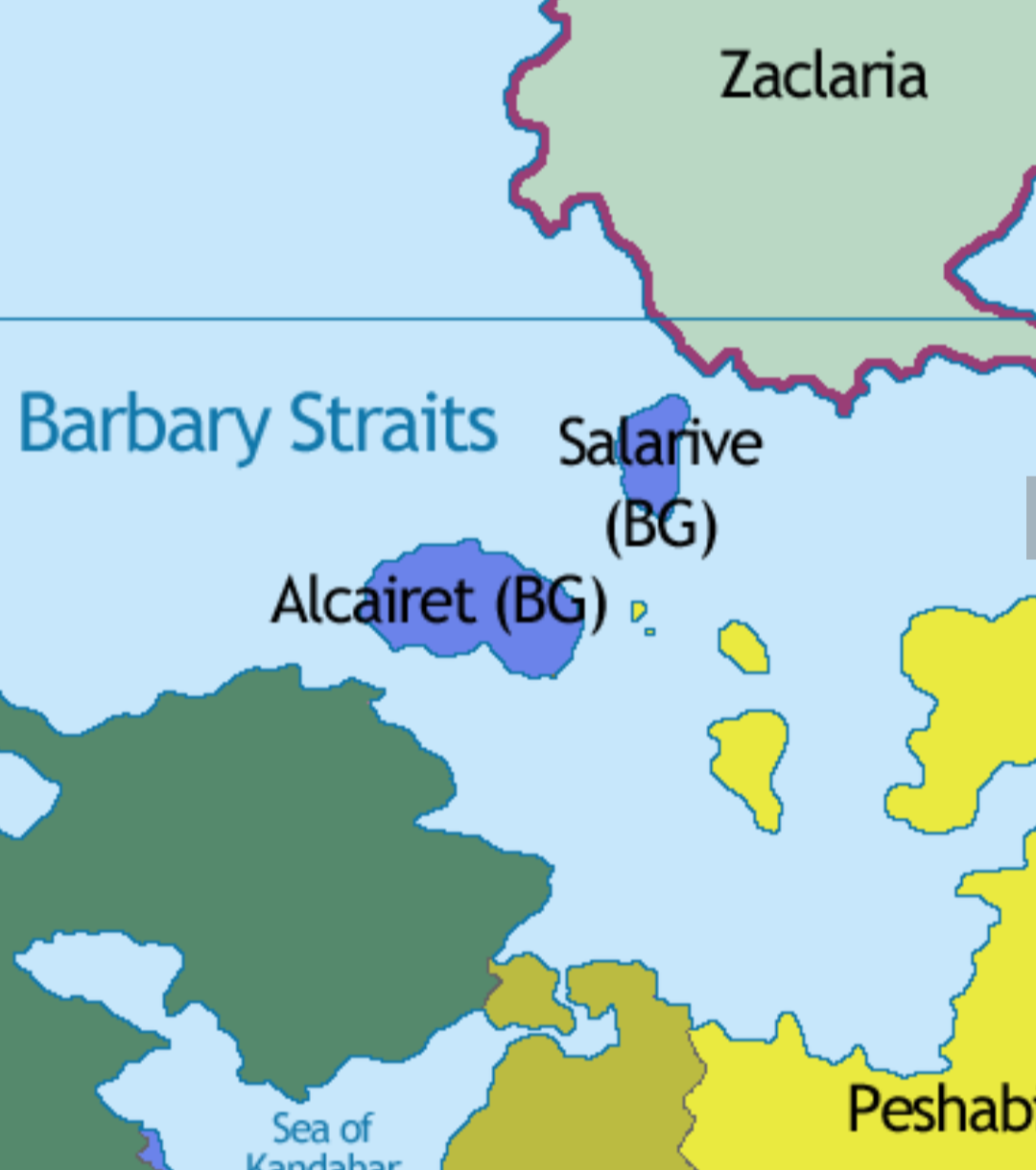 | 1,080 × 1,220 (269 KB) | Burgundie (talk | contribs) | Category:Burgundie Category:Maps of Burgundie Category:Maps Category: Political Geography Category:IXWB Category:Burgundie media Category: Sub-national Regions in Burgundie |
You cannot overwrite this file.
File usage
The following 7 pages use this file:
- Alcairet
- Barbary Straits
- Salarive
- File:Salarive Map.png (file redirect)