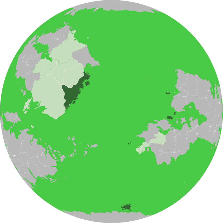
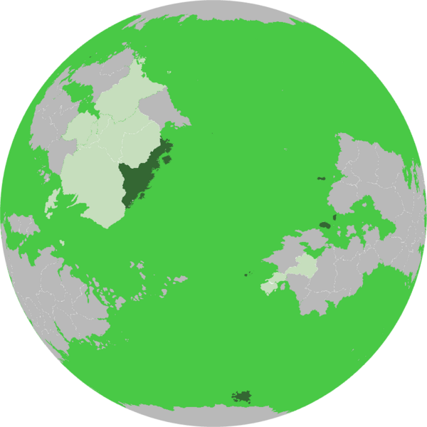
File:Burg Ortho Map.png
Size of this preview: 600 × 600 pixels. Other resolution: 854 × 854 pixels.
Original file (854 × 854 pixels, file size: 77 KB, MIME type: image/png)
Summary
File history
Click on a date/time to view the file as it appeared at that time.
| Date/Time | Thumbnail | Dimensions | User | Comment | |
|---|---|---|---|---|---|
| current | 11:19, 17 July 2024 | | 854 × 854 (77 KB) | Burgundie (talk | contribs) | |
| 11:01, 17 July 2024 | 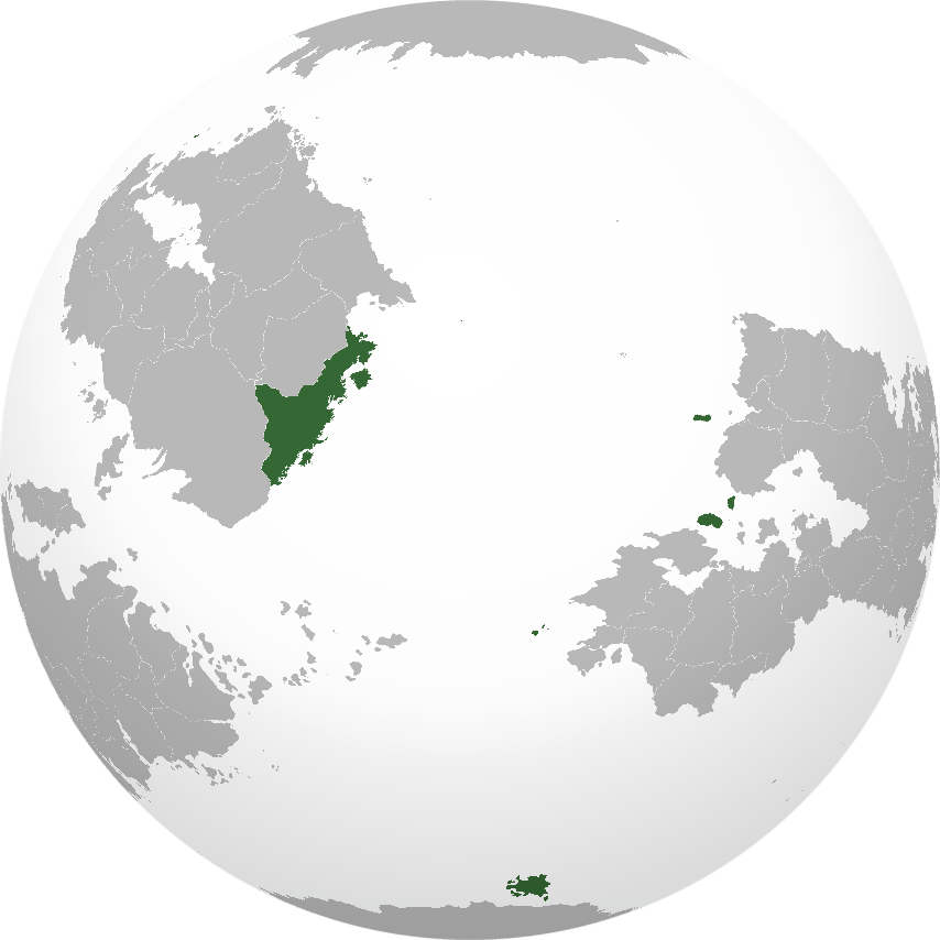 | 854 × 854 (103 KB) | Burgundie (talk | contribs) | Category:Burgundie Category:Maps of Burgundie Category:Maps Category: Political Geography Category:Geography of Burgundie Category:IXWB Category:Burgundie media |
You cannot overwrite this file.
File usage
The following page uses this file: