File:Umardwal Topo Map.png: Difference between revisions
Jump to navigation
Jump to search
(Topographic map of Umardwal) |
(Burgundie uploaded a new version of File:Umardwal Topo Map.png) |
||
| (One intermediate revision by the same user not shown) | |||
| Line 1: | Line 1: | ||
== Summary == | == Summary == | ||
Topographic map of Umardwal | Topographic map of [[Umardwal]] | ||
[[Category:Umardwal]] | |||
[[Category:IXWB]] | |||
[[Category:Burgundie media]] | |||
[[Category:Maps]] | |||
[[Category:Geography]] | |||
[[Category:Topographic maps]] | |||
[[Category:Maps of Burgundie]] | |||
Latest revision as of 22:07, 7 April 2024
Summary
Topographic map of Umardwal
File history
Click on a date/time to view the file as it appeared at that time.
| Date/Time | Thumbnail | Dimensions | User | Comment | |
|---|---|---|---|---|---|
| current | 22:07, 7 April 2024 | 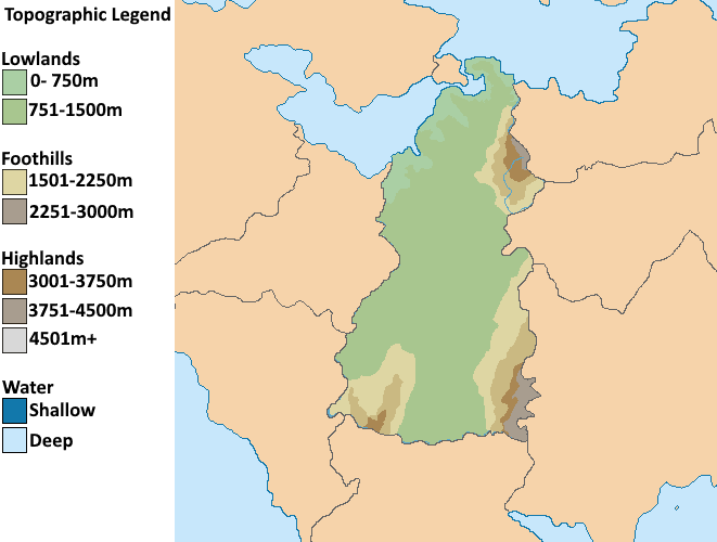 | 661 × 500 (40 KB) | Burgundie (talk | contribs) | |
| 13:35, 23 March 2023 |  | 500 × 500 (38 KB) | Burgundie (talk | contribs) | Topographic map of Umardwal |
You cannot overwrite this file.
File usage
The following page uses this file: