File:Tapakdorepoliticalmap.png
Jump to navigation
Jump to search
No higher resolution available.
Tapakdorepoliticalmap.png (500 × 500 pixels, file size: 38 KB, MIME type: image/png)
Summary
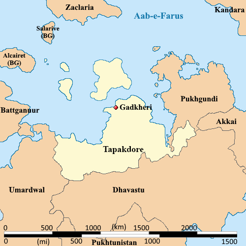
Political map of Tapakdore
File history
Click on a date/time to view the file as it appeared at that time.
| Date/Time | Thumbnail | Dimensions | User | Comment | |
|---|---|---|---|---|---|
| current | 21:58, 10 March 2024 | | 500 × 500 (38 KB) | Burgundie (talk | contribs) | Category:BurgundieCategory:CitiesCategory:Cities in BurgundieCategory:IXWBCategory:Burgundie mediaCategory:Vilauristre |
| 10:03, 19 October 2023 | 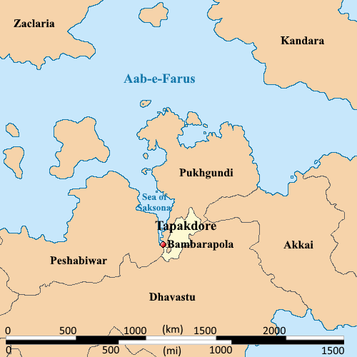 | 500 × 500 (32 KB) | Burgundie (talk | contribs) | == Summary == Political map of Tapakdore Category:Maps of Burgundie Category:Maps Category: Political Geography Category:IXWB Category:Burgundie media |
You cannot overwrite this file.
File usage
The following page uses this file: