Administrative divisions of Tierrador
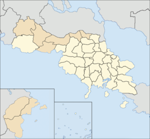
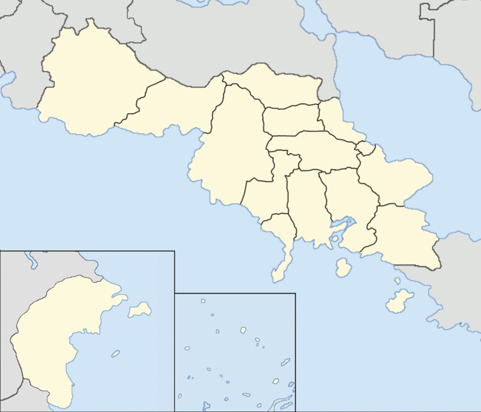
The Administrative divisions of Tierrador are the subnational administrative units in the Tierradorian Woqalate; they are composed of a nested hierarchy of administrative units. There are three major categories of Tierradorian administrative divisions as recognized by the Revised Woqalate Charter of 1874. The highest level of these administrative units are commonwealths, of which there are 26. The commonwealths are further divided into provincial-level, which include the 105 qoyalets (provinces)[1] of the Woqalate. Provinces/qoyalets are strictly ceremonial, and while they do have a provincial capital and are used by some government agencies, most others gather their data and pass laws based on the regional level. Provinces/qoyalets are further divided into parishes[2], of which there are 950. The Imperial Government of Tierrador embraces a system that combines centralized decision-making with regional autonomy.
Parishes
Qoyalets & territories

There are two types of second-level administrative divisions in Tierrador - qoyalets, which consist of historical mainland provinces dating back to the Qabóri Woqalate, and territories, which are usually split from the historical qoyalets but typically do not possess as much power as a qoyalet does. Qoyalets are typically headed by a governor, who is elected via popular vote, with the form of election typically depending on the qoyalet's respective commonwealth. Territories are usually administered by the governments of their respective commonwealths, however, a director is usually implemented as the territory's head of state, and governs the territory at the discretion of the commonwealth government. As of 2036, there are 33 qoyalets and 9 territories.
| Commonwealth | Qoyalet/Territory | Capital | Largest City | Population |
|---|---|---|---|---|
| Alcosky | Qaphakee | Tuqalo | Ominasky | 13,132,904 |
| Alatoco Territory | Naihungo | 4,108,323 | ||
| Wulokskee Territory | Tarhogun | 2,139,296 | ||
| Anbarsnia | Aktamo | Alčona | Anders | 4,102,653 |
| Olitaswa | Unionville | 2,949,808 | ||
| Oscam | Tafkoska | 1,280,140 | ||
| Aracadó | Qaneqee | Sačia | 11,533,806 | |
| Wečas | Wečas-Santiago | 5,689,235 | ||
| Auqali | Topakee | Ambaqwe | 8,501,462 | |
| Polelu | Wadičaq | 3,261,733 | ||
| Otulets | Portó Lôqela | 1,361,127 | ||
| Bogocía | Taufeeka | Nerśasaron | Soqanika | 8,501,462 |
| Agualaría | Holčaq | 3,261,733 | ||
| Las Rozas | Tascati | Qabór | 13,065,122 | |
| Chippesaukee | Suqovia | 5,109,416 | ||
| Wetteskee | Sodburn | 2,097,066 | ||
| Moscakee | Ozalaz | Alasco | Puerto Rosario | 4,525,907 |
| Arrecife | Las Mesas | 1,440,693 | ||
| Nateheko | Milton | 1,132,003 | ||
| Onancía | Lagot | Xašoi | Qéner | 3,406,989 |
| Pitúúla | Tapaso | 1,203,188 | ||
| Porvaos | Porvaos | Porvaos | 6,106,380 | |
| Qaleqa | Utwasee | Hugo | 7,449,282 | |
| Yatepolo | Namaróva | Cerocaua | 3,149,228 | |
| Atakelee Territory | Valteqa | 1,104,933 | ||
| Ecinet Territory | Wašacara | 408,679 | ||
| Saukhin Islands | Tapkoii | Oaroa | 2,033,649 | |
| Sonaxa | Sonaxa | Oqaba | 1,954,909 | |
| Taisgol | Independent City of Taisgol | Taisgol | 20,949,403 | |
| Tansher | Tuwaheekee | Tuwaheekee | 5,353,904 | |
| Oazralk | Wennepac | 2,897,443 | ||
| Tacalat | Puerta Oeste | 1,955,257 | ||
| Tawakee | Tawakee | San Cristóbal | 2,113,677 | |
| Telohakee | Undursky | Touraba | Miccubo | 11,105,922 |
| Alóqal | Túphal | Topaqoí | 8,052,339 | |
| Caxano | Vernaza | 7,504,633 | ||
| Qazrogzo | Tomaba | Kaligrusky | 5,563,631 | |
| Teschego | Akúsatine Territory | Apin Tascaí | Tataía | 2,895,801 |
| Katatiq Territory | Ashburn | 947,221 | ||
| Nu'uqalik Territory | Atalokaliq | 215,530 | ||
| Ulunkheria | Yetepec | Auston | Prisamarina | 15,052,277 |
| Tulangia Territory | Sevier | 5,271,393 | ||
| Uteqi Territory | Anloiya | 3,853,638 | ||
Commonwealths
| Flag, name and postal abbr. | Cities | Entered Woqalate | Official language(s) |
Population | Area (km2) | Seats | |||
|---|---|---|---|---|---|---|---|---|---|
| Capital | Largest | 2030 census | Q1 2031 estimates |
Total | Qangreč | ||||
| Alcosky | AT | Ominasky | February 9, 1874 | Ænglish | 19,380,523
|
19,561,336
|
338,065
|
40 | |
| Anbarsnia | AN | Anders | January 22, 1801 | Qabóri Ænglish |
8,332,601
|
8,402,775
|
247,543
|
17 | |
| Aracadó | AC | Wečas-Santiago | Sačia | February 6, 1798 | Qabóri Cartadanian |
17,223,041
|
17,561,010
|
267,780
|
36 |
| Auqali | AQ | Ambaqwe | January 24, 1910 | Qabóri Ænglish |
13,124,322
|
13,305,277
|
258,523
|
27 | |
| Bogocía[3] | BG | Nerśasaron | Soqanika | May 11, 1804 | Qabóri Coscivian |
5,303,782
|
5,406,258
|
122,095
|
11 |
| Las Rozas | LR | Qabór | January 12, 1797 | Qabóri | 20,271,604
|
20,295,231
|
219,698
|
42 | |
| Moscakee | MS | Las Mesas | Puerto Rosario | January 12, 1893 | Qabóri | 7,098,603
|
7,295,231
|
219,698
|
15 |
| Onancía | OA | Qéner | July 8, 1806 | Qabóri Kiravic Coscivian |
4,610,177
|
4,812,808
|
179,716
|
10 | |
| Porvaos[4] | PV | Porvaos | January 1, 1818 | Qabóri | 6,106,380
|
6,295,200
|
109,851
|
13 | |
| Qaleqa | QA | Valteqa | Hugo | August 17, 1808 | Qabóri Kiravic Coscivian |
12,112,122
|
12,500,561
|
316,022
|
25 |
| Saukhin Islands[5] | IS | Oaroa | January 1, 1975 | Qabóri Tapkoii |
2,033,649
|
2,221,550
|
10,992
|
4 | |
| Sonaxa | SN | Oqaba | July 3, 1985 | Qabóri Ænglish |
1,954,909
|
1,961,295
|
19,184
|
4 | |
| Taisgol[6] | TG | Taisgol | October 3, 1989 | Qabóri Ænglish |
20,949,403
|
21,108,231
|
18,117
|
44 | |
| Tansher | TN | Tuwaheekee | June 22, 1816 | Qabóri Ænglish |
10,206,604
|
10,405,180
|
201,572
|
21 | |
| Tawakee | TA | San Cristóbal | October 4, 1965 | Tawakee Pelaxian |
2,113,677
|
2,188,303
|
42,133
|
4 | |
| Telohakee | TE | Tomaba | Miccubo | October 9, 1805 | Qabóri | 32,126,525
|
32,611,905
|
733,533
|
67 |
| Teschego | TC | Apin Tascaí | Tataía | September 7, 1959 | A'ulele Kaeoto Mo'ukakai |
4,058,552
|
4,177,229
|
967,429
|
8 |
| Ulunkheria | UT | Anloiya | Prisamarina | November 8, 1874 | Qabóri Ænglish |
24,177,308
|
24,775,201
|
845,022
|
50 |
- ↑ Qoyalet and Province are used interchangeably when referring to them.
- ↑ Referred to as counties in the Kingdom of Porvaos and comarcas in the Kingdom of Bogocía
- ↑ Officially the Kingdom of Bogocía.
- ↑ Officially the Kingdom of Porvaos
- ↑ also referred to as the Tapkoii Kingdom.
- ↑ Officially the District of Taisgol.
